
Spokane Neighbors by Public Source
Different Spokane records answer different Spokane block questions. The Spokane County map establishes parcel relationships. Spokane Assessor cards name listed owners or taxpayers, not every person at an address. Spokane recorded documents connect parties to land instruments, while Spokane neighborhood councils offer a civic contact rather than a member roster. The coverage table keeps those distinctions visible.
| Source | What It Shows About a Block | Access |
|---|---|---|
| SCOUT GIS | Adjacent parcels, PID, site address, ZIP, acreage, and map layers | Free public map, click and browse |
| Assessor cards | Listed owner or taxpayer plus mailing and situs addresses | Free, parcel by parcel |
| County Recorder | Deed and legal-document parties tied to a parcel or description | Online index for 1960–2026; office and archive fallback |
| City permit map | Project, address, date, status, and neighborhood filters | Public, up to three years, updated nightly |
| VoteWA and voter file | Individual self-lookup or lawfully requested public voter fields | Protected fields and use rules apply |
| Neighborhood councils | Boundary, meetings, and civic contacts | Public city page and address map; no roster |
| HOA and plat records | Association documents sorted by plat name | County page and recording index; no member directory |
| Historical criss-cross directories | Past occupant and address clues | Spokane Library physical collections |
A Spokane owner name can be a strong lead, yet it does not prove who sleeps at that Spokane address. The Spokane mailing address may differ from the physical, or situs, address. A Spokane parcel may also be vacant, commercial, a condo, a mobile-home site, or a multi-unit property. Record the precise field and date instead of turning one Spokane card into a claim about a whole household.
See Spokane Neighbors by Parcel
The Spokane County SCOUT parcel viewer is the clearest official starting point because it displays the center lot and nearby parcel shapes. The captured viewer below shows the county mapping surface used for a block search.
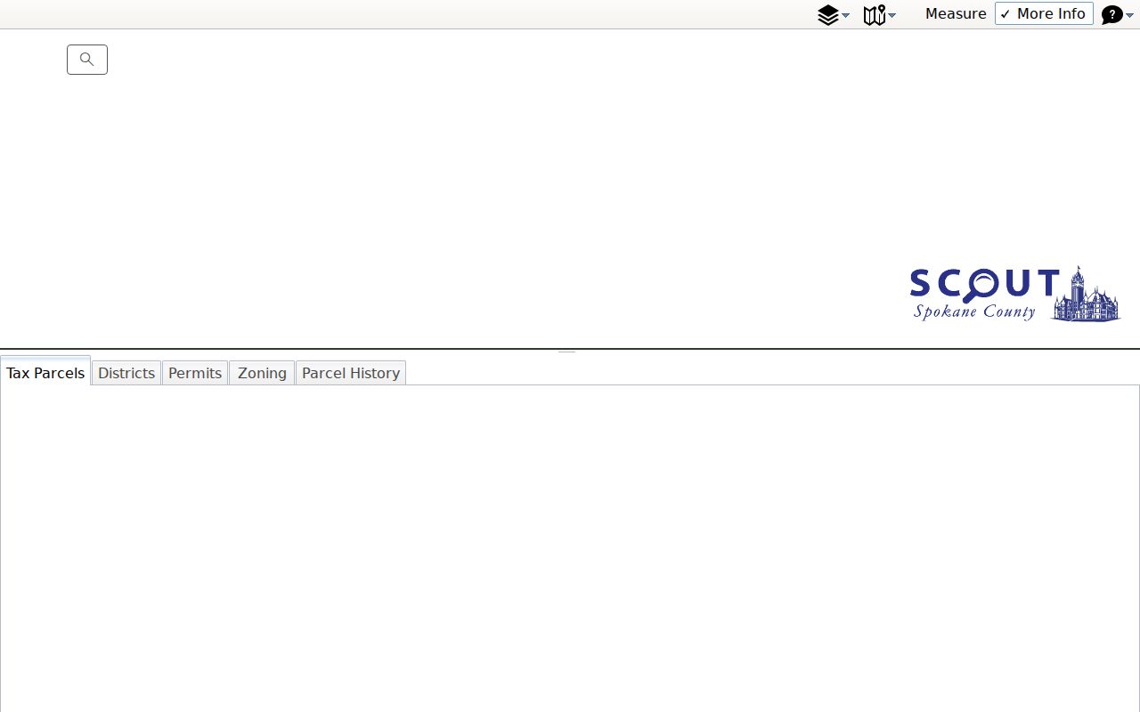
Turn off Measurement before selecting Spokane parcels. The Spokane map otherwise keeps measuring instead of opening parcel details. The CTRL key enables snapping while measuring. This small operating detail saves time when a click seems unresponsive, and it is specific to the Spokane mapping workflow.
Note: A shared parcel line establishes adjacency, not a relationship between the people associated with either property.
Map Spokane Neighbors Parcel by Parcel
Start with one exact Spokane street address in SCOUT property search. Its Spokane landing field accepts an address or parcel number. Open the resulting Spokane parcel in the map, zoom to the Spokane street segment, and move outward only as far as the immediate block requires.
- Copy the center parcel's PID, site address, ZIP, and legal description. These fields anchor later checks.
- Open SCOUT GIS, disable Measurement, and click each parcel that touches the center lot or faces the same short block.
- Compare PID, site address, site city, ZIP, acreage, and segmentation status. Use the mobile-home and condo toggles where parcel shape alone may mislead.
- Open each public assessor card and note the listed owner or taxpayer plus mailing and situs addresses. Do not infer occupancy from their match or mismatch.
- Add plat, block, lot, municipal, zoning, flood, precinct, legislative, or school layers only for geographic context.
The Spokane process is address to parcel, parcel to adjacent parcels, and each Spokane PID to its own card. For a full Spokane road rather than a tight radius, switch to the Spokane street directory, which owns the longer street-by-street chain.
Read a Spokane Block's Layers
Spokane SCOUT has layers for Spokane parcels, parcel numbers, site addresses, mobile homes, condos, plats, blocks, lots, municipal boundaries, and the urban growth area. Spokane planning and hazard context includes zoning, flood, wetlands, watersheds, the aquifer, and airport overlays. Spokane district layers include precincts, legislative districts, and school director districts.
These Spokane layers describe place, not people. Spokane flood shading says nothing about a resident. A Spokane precinct boundary does not disclose how anyone voted. Spokane zoning cannot identify a household. Use each layer to explain why nearby parcels differ in shape or jurisdiction, and keep personal conclusions tied to an actual releasable record.
- Parcel
- A mapped unit of land with its own county identifier.
- Situs address
- The physical address assigned to the property, which may differ from the owner's mailing address.
- Plat
- A recorded map that divides land into lots and blocks.
- PID
- Spokane County's parcel identifier, used to connect a map feature with its property card.
Spokane Neighbors Through Civic Councils
The City of Spokane recognizes 29 Spokane neighborhood councils in three Spokane districts. Its neighborhood council page provides the official Spokane inventory and address map. Spokane meetings are open to people age 16 or older who live, run a business, or own property within the boundary. Spokane councils help a resident find public meetings and civic contacts; they do not publish a household list.
District 1
Bemiss, Chief Garry Park, Hillyard, Logan, Minnehaha, Nevada Heights, Riverside, Shiloh Hills, and Whitman.
District 2
Cliff/Cannon, Comstock, East Central, Grandview/Thorpe, Latah/Hangman, Lincoln Heights, Manito/Cannon Hill, Rockwood, Southgate, and West Hills.
District 3
Audubon-Downriver, Balboa/South Indian Trail, Browne's Addition, Emerson/Garfield, Five Mile Prairie, North Hill, North Indian Trail, Northwest, Peaceful Valley, and West Central.
The Spokane council boundary adds local vocabulary to a Spokane block search. It should not be substituted for a ZIP, parcel, or HOA boundary. Use the Spokane city address map to choose the right council, then contact that Spokane council about public meetings or neighborhood concerns without asking for a private roster.
Spokane Neighbors and HOA Plats
The Spokane County homeowners-association page organizes Spokane documents from Public Works and Spokane Auditor Recording by plat name. That can connect a Spokane subdivision with covenants or recorded association papers. No official Spokane public HOA member directory was located, so the documents must not be described as a household list.
Copy the plat name from SCOUT or the legal description, then look for matching association documents. If the online page is incomplete, search the Auditor recording index by party, document type, or legal-description clue. Older or unavailable records may require office or archive access. Private membership and contact lists remain private unless the organization itself lawfully provides them.
Spokane Voter Data Is Limited
Washington public voter fields can include name, address, year of birth, and voting history. Full birth dates, identification numbers, signatures, and protected addresses are withheld. VoteWA serves individual self-lookup and does not promise an open block-wide display. The full Spokane County or district file requires an election-data request, a fee, and certification for political use.
The county form offers full-county or single-district selection, plus requested fields and voting history for up to five elections. It does not offer a simple public nearby-address tool. Even a lawfully obtained record shows a registered residential address on the file date, not every person in a home and not anyone's ballot choice.
Note: Washington has no party-registration field, and election participation never reveals the content of a secret ballot.
Official Spokane Records Beat Compilations
Commercial neighbor tools can combine public, property, and marketing associations, but those matches can be stale or wrong. They cannot override sealed files, protected voter addresses, or Washington's Address Confidentiality Program. Official sources are narrower, yet each field has a named custodian and a clearer meaning.
| Question | Official Spokane route | Commercial compilation risk |
|---|---|---|
| Which parcel touches this one? | SCOUT GIS boundary | Map association may be out of date |
| Who is the listed owner? | Current assessor card | Old owner may remain linked |
| What civic area covers the address? | City council address map | Neighborhood label may be informal |
| Who lives in the home? | No complete official household roster | Inferred names may be false |
Use commercial results, if encountered, only as an unverified lead. Confirm each fact with the proper custodian and never publish an inferred household as settled truth.
Past Spokane Neighbors by Address
For older blocks, Spokane Library reverse and criss-cross directories provide an address-to-occupant route for selected years. Search the street and house number, then record the year, printed city label, and any phone, occupation, or business notation. Hillyard, Spokane suburban, and Spokane Valley runs may need separate searches.
Historic permits, Sanborn maps, and deeds answer different questions. A map can show a building footprint, a permit can date work, and a deed can identify parties to title. A directory is the better occupancy clue. Keep those source types side by side instead of merging them into one claim about past households.
Privacy for Spokane Neighbor Lookups
Utility and delivery lists, private association membership, DMV records, renters, and other household members are not public block directories. Washington's Address Confidentiality Program supplies a substitute address and mail forwarding for qualifying protected people. Actual addresses remain private under the program's rules, and records created before enrollment are not automatically rewritten.
An unavailable online image does not prove that no record exists, and an index row does not grant a right to every underlying detail. Ask the custodian for the releasable part and respect redactions. If a protected address appears in an older source, do not repeat it.
Lawful use. Spokane block records support civic curiosity, reconnection, and personal safety awareness. Never use them to watch, threaten, harass, or harm another person.